
Geofencing Technology Risks in Shared Fleet Scooters

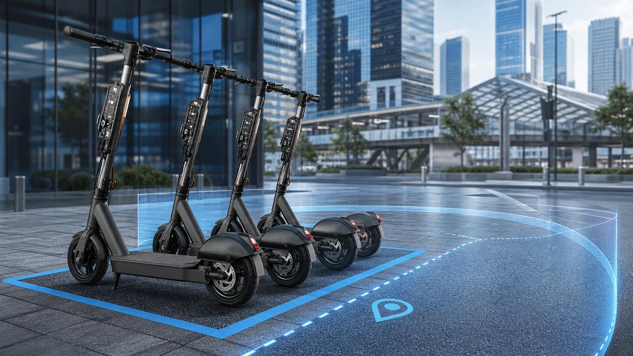
As shared fleet scooters spread across dense cities, geofencing technology now shapes daily operations, rider behavior, and public-space compliance. It promises control, but weak execution can quickly become a safety and governance problem.
For urban mobility platforms, insurers, city partners, and technical teams, the real issue is not whether geofencing technology exists. The issue is whether it performs accurately under messy, real-world conditions.
In shared fleet scooters, small location errors can trigger unsafe braking, missed no-ride enforcement, parking disputes, and inconsistent rider experiences. These risks affect operations, reputation, and long-term market access.
Why geofencing technology risk changes by operating scene
Geofencing technology does not fail in one single way. Its risks change by street density, signal quality, local policy, fleet speed rules, and the precision expected from each zone.
A university campus, a historic city center, and a mixed-use transport hub all place different demands on digital boundaries. Treating them the same often creates hidden operational blind spots.
This matters across the broader mobility and advanced cycle sector. ACMD closely tracks how connected vehicles, lightweight platforms, and electronic control systems depend on precise data integrity.
Scene one: downtown canyons with unstable positioning
Dense urban cores create the most visible geofencing technology risks. Tall buildings reflect satellite signals, weaken GPS confidence, and produce location drift at the exact moment control must be strict.
A scooter may appear inside a slow zone while still moving outside it. Or it may remain unrestricted after already entering a pedestrian-heavy corridor. Both outcomes damage trust.
The key judgment point here is transition stability. If a boundary cannot be crossed smoothly and consistently, speed control becomes erratic and user safety declines.
Scene two: transport hubs with mixed legal boundaries
Stations, airports, and interchange zones often combine public roads, private access lanes, restricted plazas, and designated parking areas within very short distances.
Here, geofencing technology risk comes from mapping complexity. If digital polygons do not match legal and physical boundaries, enforcement becomes arbitrary and complaints escalate quickly.
The core judgment point is governance alignment. Every zone should reflect operational reality, not only map convenience or software assumptions.
Scene three: campuses, parks, and semi-closed micro-mobility areas
Controlled environments seem easier, yet they introduce another challenge. Riders expect seamless service, but boundaries may need to change during events, maintenance, or seasonal traffic shifts.
In these spaces, geofencing technology must support rapid updates without creating outdated no-ride zones or missing temporary restrictions. Delay in data sync becomes a direct operating risk.
The main judgment point is update responsiveness. A static fence in a dynamic space is often less safe than no fence at all.
Typical risk patterns behind geofencing technology in shared fleet scooters
Several recurring failure patterns explain why geofencing technology underperforms, even when operators believe their systems are already mature.
- Positioning drift causes false zone entry or delayed activation.
- Low map resolution creates poor boundary matching on complex streets.
- Network latency delays rule enforcement or parking validation.
- Firmware and cloud logic become inconsistent after updates.
- Hard braking from abrupt speed changes creates rider instability.
- Weak exception handling fails during tunnels, underpasses, or signal loss.
These issues are not just technical details. They shape injury exposure, city partnership outcomes, and whether a fleet can scale responsibly in regulated environments.
Safety risk is often created at the boundary, not inside the zone
The most dangerous moment is usually the transition point. Sudden motor power reduction can surprise riders during turning, overtaking, or downhill travel near zone edges.
If geofencing technology triggers too aggressively, it may prevent collisions in theory while causing loss of balance in practice. Validation must include rider dynamics, not only map logic.
Compliance risk grows when digital rules exceed physical clarity
A no-ride zone that is invisible on the ground invites conflict. Riders react poorly when the vehicle changes behavior without clear visual cues or consistent local signage.
That turns geofencing technology into a reputational risk. Even correct enforcement may appear broken when user expectations are not aligned with infrastructure.
How scenario needs differ across urban micro-mobility environments
Different operating scenes require different design priorities. The table below highlights where geofencing technology must adapt rather than rely on one universal rule set.
This variation explains why geofencing technology must be evaluated as an operating system, not a single feature. Scene-aware design reduces both technical noise and policy friction.
Practical adaptation advice for stronger geofencing technology performance
A stronger system starts with realistic operating assumptions. Urban micro-mobility environments are messy, layered, and constantly changing.
- Use multi-source positioning, not GPS alone, in dense city corridors.
- Build graduated speed transitions instead of abrupt power cuts.
- Audit map polygons against legal boundaries and physical street markings.
- Separate no-ride, slow-ride, and no-parking logic with clear priority rules.
- Test offline behavior when the scooter loses signal mid-ride.
- Record zone-trigger logs for complaint review and compliance evidence.
- Validate every firmware update against a field test route library.
For advanced mobility ecosystems, this approach mirrors best practice in electronic drivetrains and lightweight performance engineering: precision is only valuable when repeatable under stress.
Field validation should mirror real rider behavior
Bench simulations are useful, but incomplete. Geofencing technology should also be tested during peak traffic, poor weather, curbside parking pressure, and multi-zone journeys.
A system that performs well on a clean test map may still fail near buses, reflective glass, underground entrances, or event-driven road closures.
Common misjudgments that weaken geofencing technology programs
Several assumptions repeatedly undermine deployment quality and create avoidable risks in shared fleet scooters.
- Assuming map accuracy equals enforcement accuracy.
- Treating all city zones as if they need the same rule sensitivity.
- Measuring success only by activation rate, not rider stability.
- Ignoring how signage and street design influence user understanding.
- Launching updates without controlled rollback procedures.
Another common error is overestimating software compensation. Geofencing technology cannot fully fix poor curb management, unclear local rules, or badly designed parking infrastructure.
The strongest programs combine digital control, physical design, and ongoing data review. That combination reduces false triggers and improves public acceptance.
What to do next when evaluating geofencing technology risk
Start with a scene-based audit. Review where geofencing technology performs well, where complaints cluster, and which zones show unstable trigger behavior.
Then compare digital fences with physical reality. Check signage, lane geometry, parking expectations, and enforcement objectives at each high-risk location.
Next, establish a validation routine covering map changes, firmware updates, and incident reviews. A reliable process matters more than one-time configuration.
For organizations following urban micro-mobility, advanced cycles, and connected vehicle systems, geofencing technology should be judged by precision, resilience, and explainability.
In shared fleet scooters, that standard is no longer optional. It is the foundation for safer riding, stronger compliance, and more durable city-scale operations.
Related News